Discover the Agave Trail: A detailed guide

See a different side of Alcatraz by exploring the Agave Trail. Located on the southern edge of the island, this path offers a peaceful break from the main prison tours. It is an easy, 0.6-mile walk where you can enjoy nature and look for local birds.
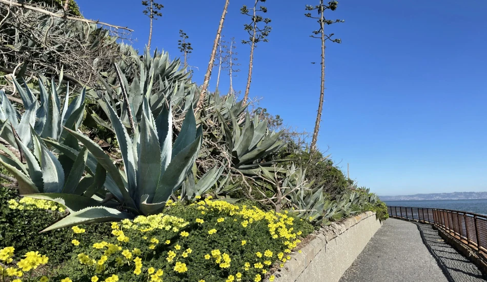
As you walk, you will be surrounded by the spiky agave plants that give the trail its name. These were originally planted to help hold the soil in place and act as a natural fence. The trail also offers amazing views of the San Francisco skyline.
This article covers everything you should know about the Agave Trail before you head to the Alcatraz Island.
Top Tickets
– Alcatraz Day Tour
– Alcatraz Night Tour
– San Francisco Bay Cruise (no landing)
– Muir Woods, Sausalito & Alcatraz
– Muir Woods, Sausalito & Alcatraz + SFO city tourBook tickets early, as Alcatraz Island tours sell out quickly.
Table of Contents
Location and getting there
The Agave Trail is situated on Alcatraz Island, within the Golden Gate National Recreation Area.
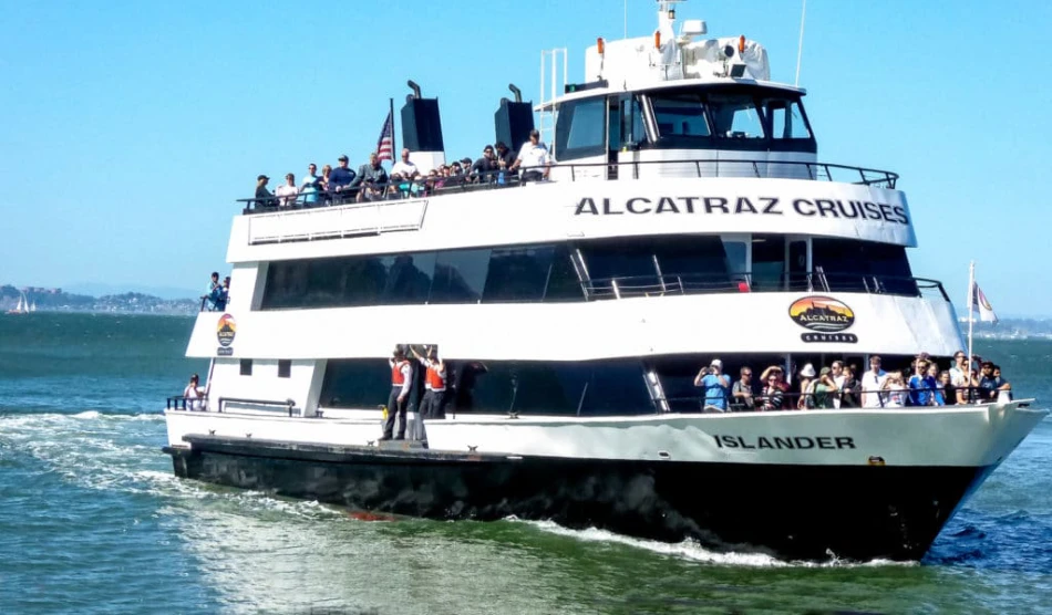
Visitors must take a ferry from Pier 33 in San Francisco to reach Alcatraz.
As you step off the ferry and start your exploration, follow the signs for the Agave Trail, which begins just south of the ferry dock.
How long is the Agave Trail?

The Agave Trail is approximately 0.6 to 0.7 miles long.
Most people can comfortably walk the entire trail in about 30 to 60 minutes, making it an accessible activity for a wide range of visitors.
However, allowing more time is recommended if you wish to pause and fully appreciate the stunning views and observe the wildlife.
What to expect on the trail
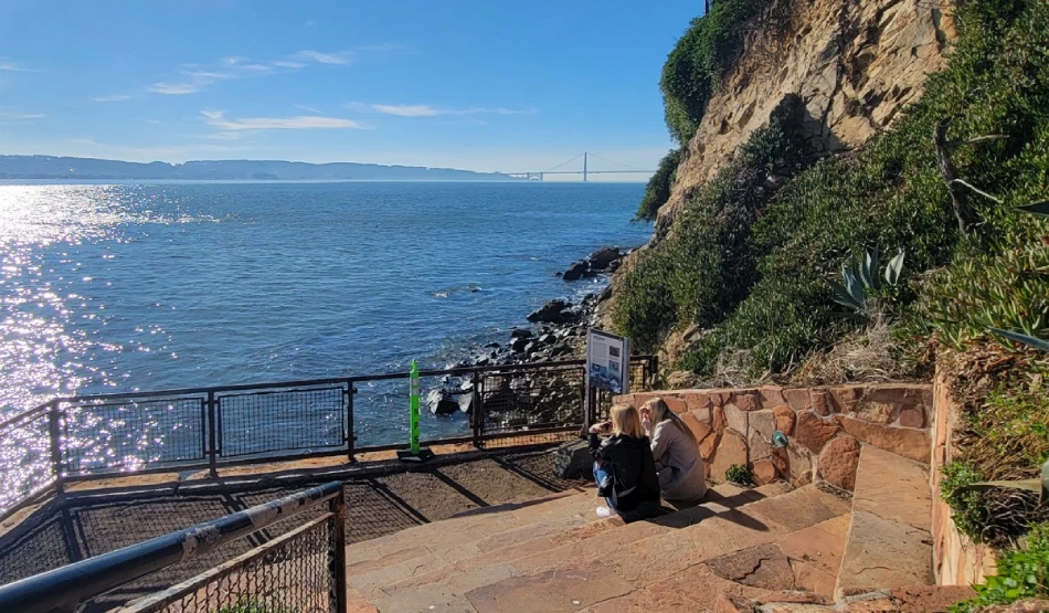
The trail begins as a flat gravel path, ranging from 6 to 10 feet in width, making it easily navigable for most.
As the trail progresses, it meanders through a eucalyptus grove and then descends, in some sections, to within a few feet of the water’s edge.
Eventually, the path climbs uphill to the historic Parade Ground via a stone-paved staircase of approximately 40 steps.
Several benches are placed along the trail, providing opportunities to rest and enjoy the scenery.
Important information for visitors
The Agave Trail is only open from late September or mid-October to mid-January or February 1st.
This timing helps protect the nesting seabirds on the island.
It usually aligns with clearer, fog-free weather in San Francisco.
Always check the current trail status before visiting, as dates may shift depending on bird activity.
Pets are not permitted anywhere on Alcatraz Island, including the Agave Trail. Only service animals are allowed.
Access to the Agave Trail does not require an additional fee. However, visitors must have a ferry ticket from Pier 33 in San Francisco to reach the island.
Best time to visit
The ideal times to hike the Agave Trail are typically in the morning and late afternoon.
Morning hikes offer cooler temperatures and often clearer skies, ideal for enjoying the views.
Visiting earlier in the day might also mean fewer crowds, offering a more tranquil experience.
Late afternoon provides beautiful lighting for photography and the chance to witness a stunning sunset over the bay.
Breathtaking panoramic views
One of the best parts of the Agave Trail is the incredible scenery. As you walk along the southern edge of Alcatraz Island, you’ll enjoy:
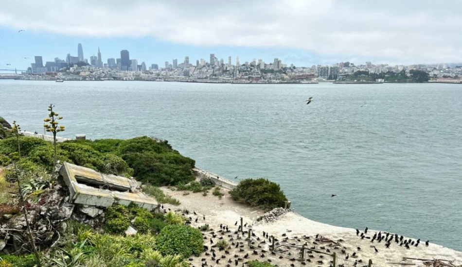
- Spectacular views of the San Francisco skyline and Bay Bridge
- Sweeping vistas from the Parade Ground of the Golden Gate Bridge, Treasure Island, and Marin Headlands
- Peaceful surroundings with boats gliding by and seagulls flying overhead
- Perfect photo spots and a relaxing atmosphere with the sound of waves lapping at the shore
It’s an ideal trail for nature lovers, photographers, or anyone looking to unwind with breathtaking views.
Spotting the wildlife
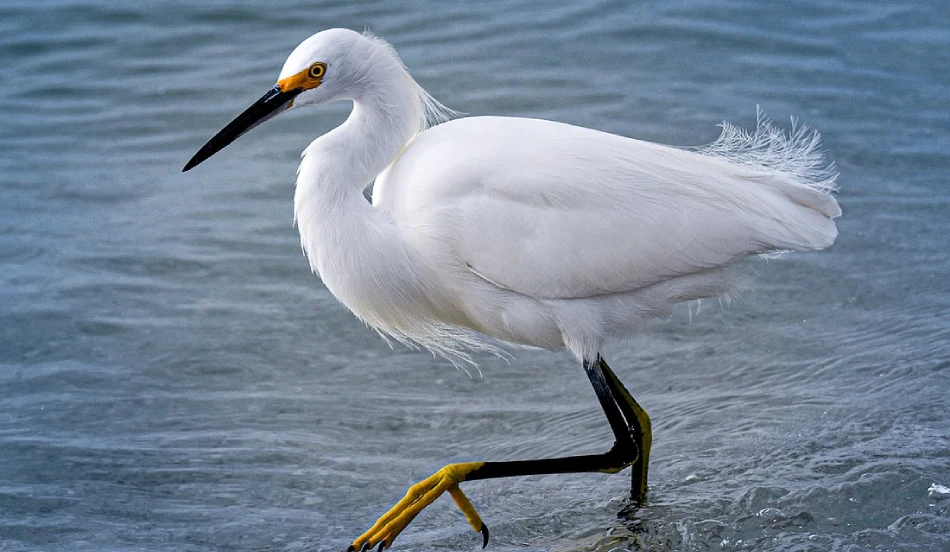
The trail is also a haven for birds. Keep an eye out for:
- Western Gulls – The island hosts the Bay Area’s largest nesting colony.
- Night Herons – Often spotted in rubble piles.
- Snowy Egrets & Great Blue Herons – Seen near the shore.
- Cormorants & Guillemots – Nesting along the cliffs.
At low tide, tide pools appear along the shoreline, filled with sea anemones and other marine life. The trail also supports other wildlife like burrowing owls, salamanders, and deer mice, the island’s only native mammal.
History on the way
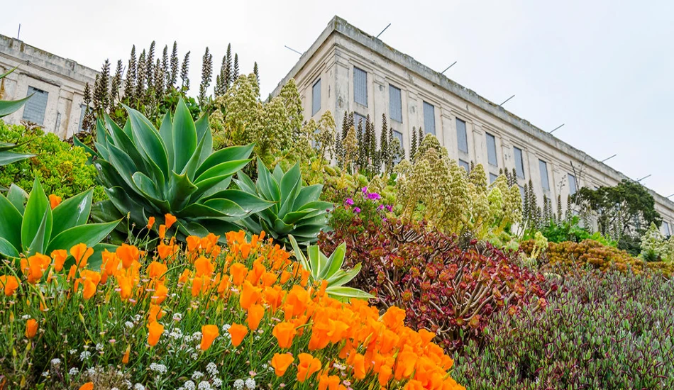
The Agave Trail isn’t just a pretty walking path—it’s filled with stories from the past.
The trail dates back to the 1910s and has seen many changes over the years.
One of the most striking features along the trail is the agave plants, also known as century plants.
These were planted by the U.S. Army in the 1930s and 1940s.
They had two main purposes:
- To prevent soil erosion on the steep slopes of the island.
- To act as a natural barrier to stop anyone from easily landing boats or helping prisoners escape. The plants have sharp, spiky edges that make them an effective fence.
You’ll see four types of agave, with some growing flower spikes up to 40 feet tall!
Along the trail, you’ll spot rubble piles—remains of homes that once belonged to correctional officers. These were demolished after the 1969 Indian Occupation. Today, they serve as habitats for birds.
The trail ends at the Parade Ground, built in the 1870s by military prisoners. Though the houses are gone, the area still holds historical signs and sweeping views.
In 1990, the trail was restored by QuarryHouse and landscape architect Lawrence Halprin, using stones that matched the island’s natural look.
